To be sure, heavy rain looks like a near certainty during the next 18-24 hours; however, the severe wx parameters of hail and tornadic storms is a much tougher call...as is so often the case. But especially so today since the low levels are quite stable in our immediate Harrisburg area as the dew points are in the mid 50s and the temps are in the low 60s at present (9:00 am). This keeps our atmosphere stable and inhibits convection or the development of the potentially severe weather. As does our current ENE wind. The longer this coolness stays, the more difficult to create severe instability! Here is a current map of surface dew points. Very humid air (energy) is located as close as southern MD.
And as the humidity gets drawn northward into the surface low over NE Ohio, this should allow for the warmer and more humid air will quickly move into southern PA. Take a look at how the CAPE has increased over the last 3 hours. CAPE is simply a measure the potential for convection...
Note how the CAPE and the increased instability is creeping northward into southern PA. There will also be a very strong jet in the low-mid levels of the atmosphere modeled for later today. This will increase the likelihood for enhanced upward motion and ultimately severe wx! The gold arrow points to our approximate location. This is modeled for ~ 8 pm this evening. Although the modelers are outstanding in their trade, it is very difficult to pinpoint the exact locations of these potent pockets of fast winds!
Wind shear is also a concern. Shear has many meanings, but the change of direction with height is critical in determining whether severe weather will occur. Here is a plot showing the wind shear over KMDT later this evening...this shows the winds from the surface to the 35,000' level. There is quite a bit of wind shear in the first 10,000' of the atmosphere. This is conducive for creating storms that rotate or possibly produce tornadoes.
The Severe Storms Center still has us in the "Slight" category for overall severe wx but here is the probability map for tornadoes to occur within a point of 25 miles within the shaded area...
I believe straight line wind will be our largest concern with the approaching front later this evening. I also believe that 1.50" of rainfall is a good bet! As does HPC with their QPF through tomorrow morning at 8 am...Also note more tropical troubles in south FL!
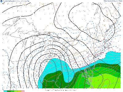
One thing for sure is that the next week to 10 days will be cooler than it has been recently. Here is the 7 day running mean ending next Sunday...quite cool for the Mid-Atlantic and NE quarter of the US.
With all of that, get through the storms of Friday afternoon and overnight, enjoy your weekend and the upcoming cool 1st week of summer!
Smitty
AA: Potential for some nasty storms Friday evening into Saturday early morning...then a cooler than normal week the 1st week of June!


No comments:
Post a Comment