Soggy Saturday?
Longwave troughs often bring unsettled conditions to regions on the earth's surface that are under the weakness and on the "business" or leeward side of the trough. A longwave trough is looking more and more likely to dig SE and amplify to some extent this weekend over the northeastern USA. As a result, some showers and possibly even some heavier rain are likely this weekend over the eastern 1/3 of the USA as some deep moisture could be picked up and advected NE to rain on our parade. Let me graphically show y'all this....By the way, the modeling is in fairly good agreement with this scenario which tends to create a little higher than normal confidence in this fearless forecast! First, let me show you the water vapor image and the deep tropical moisture that could enhance any rains here in the Mid-Atlantic this weekend if it gets pulled NE by this digging trough. Note the bright white in the northern Gulf of Mexico...Also, just off the eastern edge of the image is Hurricane Leslie.

Here is the longwave pattern as per the GFS for this weekend...That is a fairly deep and vigorous trough for this time of year if this model verifies! Notice how the deep gulf moisture would be able to advect NE directly towards us here in PA! There is also a rather strong vort max over southern Ohio that could help enhance the surface low pressure and increase the amount of precip...time will only tell.
The next few maps are all for Saturday late afternoon from various models. Just compare for yourselves the position of the low pressure systems and the potential problems for our weekend wx. First, the GFS...it has taken its low into northern NY with rainfall from the Carolinas to ME...
Here's the Euro...it has a deep low cutting up through the lakes and will undoubtedly spin up a secondary just to the SE of the primary center and rain out over PA and points north and east...
Here is the O Canadian...similar to the GFS, but even wetter...slightly faster and more progressive...not insurance!
I'll even humor y'all with the Navy model...clearly an elongated frontal passage is indicated as opposed to a wrapped up storm system over NY or thereabouts...
Finally, the regional and higher resolution gridded NAM...from this far out, the NAM is usually good for a few yucks and that is about it! Did you guys notice that all though tend to have Leslie in the same general area!
Finally, here is the HPC's take on the precip that might fall over the USA for the period Friday evening to Saturday evening...looks wet up and down the eastern 1/3 of the nation. Personally, I believe there will be a greater amount of rainfall over central PA as well...again time will tell!
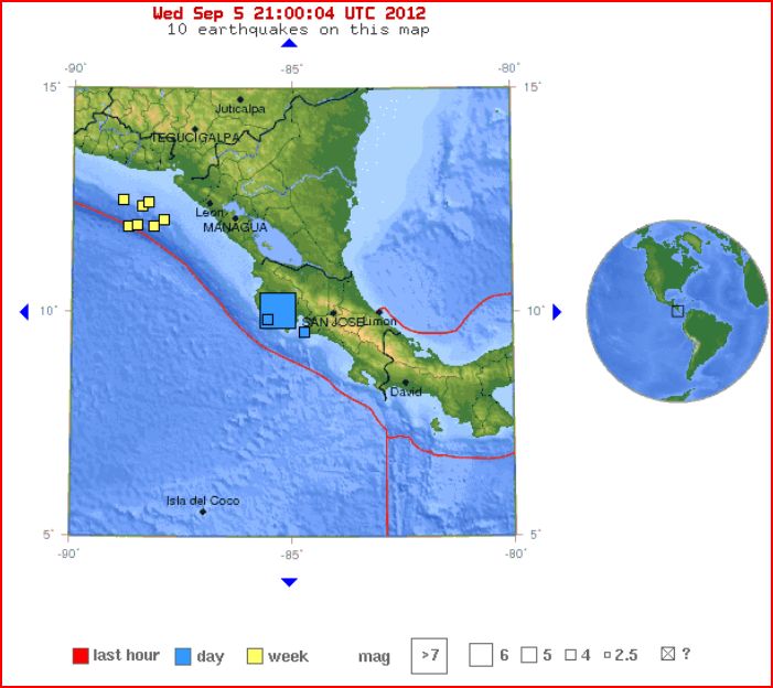
So there you have it...a quick look at this weekend. And while we all talk wx, football, baseball, politics, or whatever we might discuss, lets also think about the humanity that was adversely affected by the 7.6 that struck in Costa Rica earlier today. I can't even imagine...
In closing, go Os...
...and enjoy your NFL opener this evening. How 'bout them Giants (just for you Mick & KM)? Trust me, that's difficult coming from an Eagles fan!
Enjoy the end of your week......
Smitty
AA: Looks like rainfall could threaten our weekend, especially Saturday!


No comments:
Post a Comment