Anyway...some quick graphics for my loyal readers. First the temperatures the first week of April. This map is the Euro depiction of the 850 mb temps which are a good indication of the tendency of air masses in the atmosphere as at 1 mile up, most surface interactions are offset. Yes, that is the springtime equivalent of the dreaded POLAR VORTEX!
Now by week 2, the Barney purple moderates but clearly sinks into the CONUS...
And with the relentless press of the arctic origin air mass comes the threat of accumulating snows...week one...
And by what is essentially tax(ing) day...my buddy in VT may be skiing on May Day if this all keeps going!
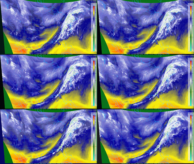
The change of air masses will begin a few hours after many of you read this as the air from O Canada begins to push south and east in wave-like fashion. Note the deep SW flow currently, but also look west and north (Montanaish) to see the next air mass heading eastbound. Currently, normal temperatures are quickly rising with maxes in upper 50s and overnight lows in upper 30s for these parts. I'm thinking maybe 50 and 30 for the upcoming week but obviously cooler/colder when the threat of precip is around...and yes...that could be accumulating snow to some minor extent!
OK...I've bummed you out enough. Listen, spring will be delayed but no way denied! May is just around the corner! At least that is what the US generated climate model is suggesting! April is below normal...
The ditty I leave y'all with is from Billy Joel's COLD SPRING Harbor album, but with a different twist as Don Henley was honoring Billy Joel in this rendition below. I hope you enjoy as I did...
Smitty
AA: This coolish spring is slowing all things green! Don't be too quick to become a grass farmer! Snow will whiten the ground again in these parts...once, maybe twice by mid-April! Being that it's Easter, I have to share this classic...again!


