


And that air will be working its way towards us as well...take a look...1st here is 7am Friday.

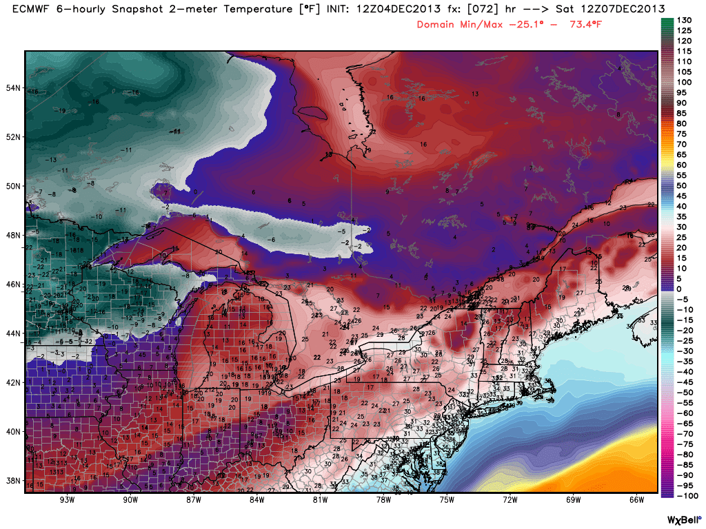
And then 7am Saturday...
Finally Sunday at 7am...

What the map above doesn't show, but the upper levels are quite cold as well. Thus, when the air starts to push from the southern US later on Sunday, much frozen precip will break out all along the Ohio Valley and up into PA. Just where the axis of heaviest precip sets up is a real question. But the Euro has been rock solid in suggesting that ample frozen precip will fall in these parts by Monday pm and once again later in the week as more warm air tries to erode the arctic air that is in place. Suffice to say, winter will be felt in these parts through next week...and of that I am fairly sure.

Take a look at this meteogram from the Euro for the next 10 days...enjoy the warmth of Thursday kids! 3+ days of below freezing temps later next week following a lot of frozen slop and gooply glop! At the very least, many places across the US in the northern states will start getting into the Christmas feel by simply looking outside at nature's frosting...

One thing to me that certainly indicates that it is coming on Christmas is the short days we are now experiencing...sunset at 4:45 pm after a 7:15 sunrise in these parts...and with that low sun angle, it is very difficult to mix and erode any of these low hanging clouds that have obscured our sky. Joni Mitchell sings about other observations she remembered indicating that Christmas was a few short weeks away...I hope you enjoy as much as I.
And as always, thanks for humoring me by reading my take on this wonderful natural world in which we are but such a small part! Everyday, I become even more in awe at how this natural world operates!

Enjoy your end of the work week...and by the way, that OK-OK State game might be the new college "Ice Bowl"! Temps in the low teens at early kickoff! Snow on the sidelines and in the stands...could be fun! Them Sooners and Cowboys won't know what hit them!
Gotta run...
Smitty
AA: Mild Thursday, but then some serious cold will slowly bleed into these parts and then hang tough for the next week or so. A few bouts of frozen precip to boot along with some liquid sunshine. Ellsbury a Yankee...how 'bout that?